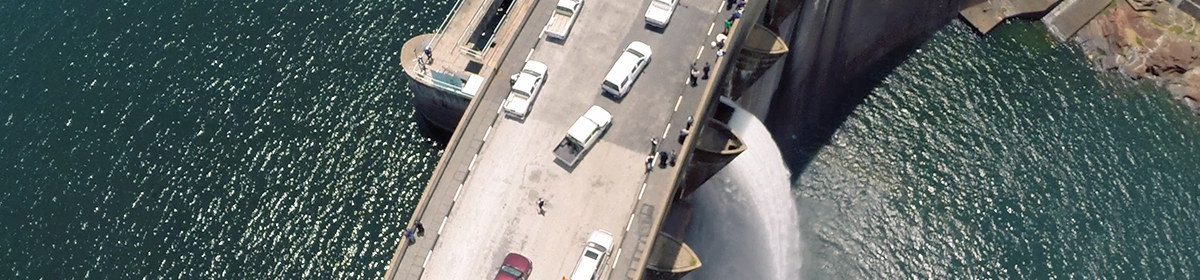
Site Location
The Kariba Hydro-electric Scheme is located approximately halfway down the Zambezi River that flows from the north-western part of Zambia, Southern Africa, to the Indian Ocean. It lies in the Gwembe Valley at Latitude 16031' South and Longitude 28046' East. The width of the Gwembe rift valley is 70km on average and is bordered on either side by escarpments which go approximately 700 metres high.
Background
The Electricity Supply Commission, instigated an investigation for possible hydro-electric schemes to be constructed at Kariba. In 1941, funds were made available and in 1955 the then Federal Government of Rhodesia and Nyasaland (Zambia, Zimbabwe and Malawi) called for tenders for the construction of the dam wall. The contract for the construction of the wall and power station was awarded to the Italian consortium Impresit on 16 July 1956.
Kariba Dam was designed by the French engineer Andre Coyne. A specialist in “arch dams”, he personally designed over 55 dams, Kariba being one of them. Excavations of the foundations, construction of dam wall and power stations and the subsequent commissioning of the first generator took place between 1956 and 1960.